
Los Santos Photography: Coffee Landscapes and Highland Forests
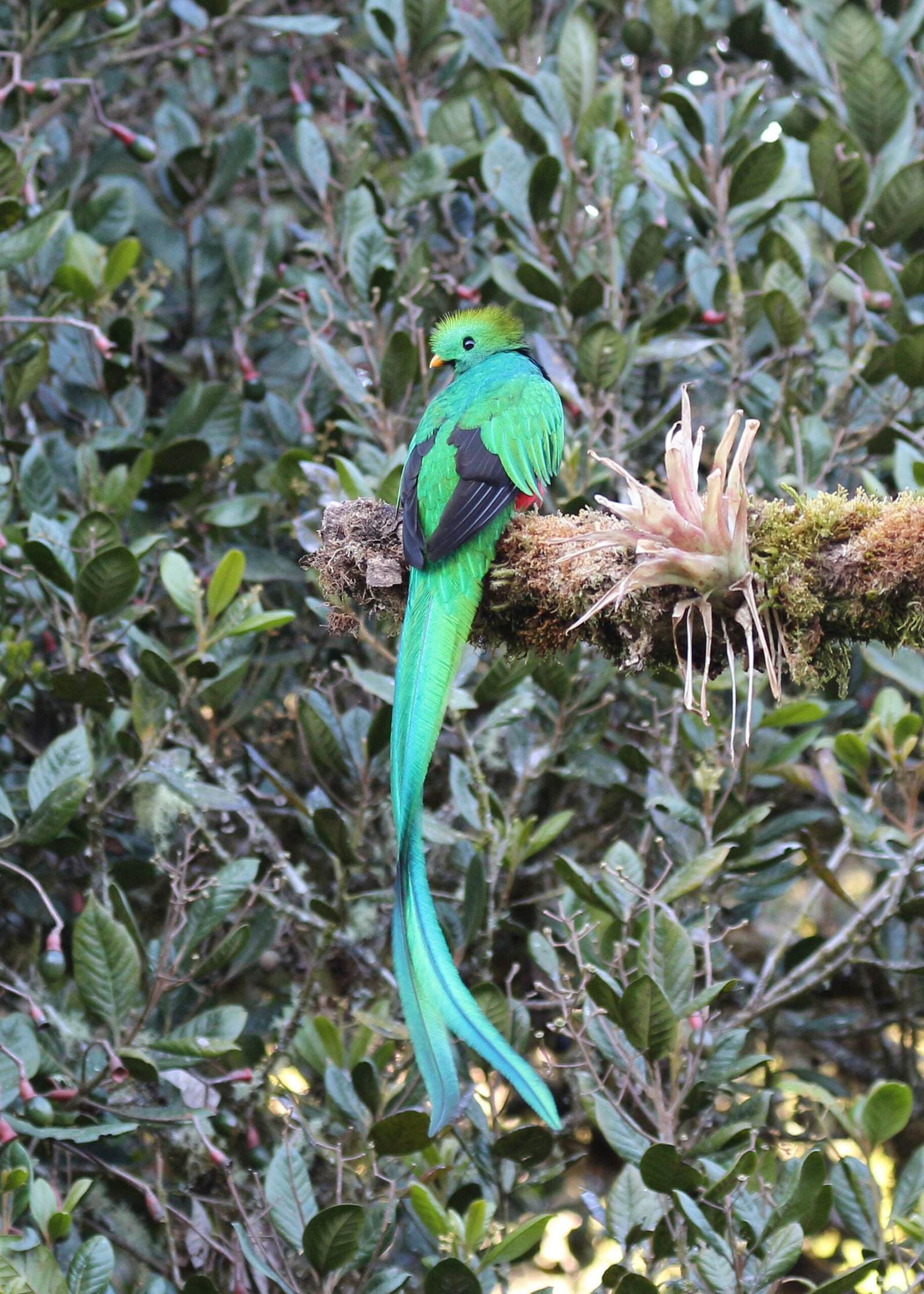
Los Santos photography offers a regional view of Costa Rica’s highlands rather than a single hotel or birding stop. The Costa Rican Tourism Board (ICT) identifies Dota, Tarrazú and León Cortés as part of the Los Santos area. Its regional map provides a useful starting point for understanding the towns and roads.
Different places, different photographic intentions
Use the wider region to build a story connecting rural communities, coffee landscapes and forest. A valley viewpoint, a working landscape and a close wildlife observation each demand a different pace. Ask permission before entering farms or photographing people at close range. A respectful exchange often produces a more meaningful image than treating a community as a backdrop.
San Gerardo de Dota is one highland base within a broader journey. Explore its dedicated directory for lodging and guiding profiles. Copey and Santa María de Dota should be considered according to your route and interests, rather than assumed to be interchangeable with the Savegre valley.
Highland wildlife and protected areas
SINAC’s Los Quetzales National Park information explains the protected-area context. Check access and current rules through the official source. A photograph of a quetzal should begin with patient observation and an appropriate distance, not with pressure to obtain a particular pose.
Allow time for forest atmosphere, moss, branches and habitat relationships as well as bird portraits. Mist can become part of the composition. Keep a flexible plan so that a change in conditions leads to a different subject rather than a wasted outing.
Accommodation profiles in the broader highlands
See the published profiles below and confirm their precise location before planning transfers. Being in the same region does not make every activity a short journey.
Published provider profiles
Profiles are an impartial starting point, not a ranking or a complete inventory. Confirm each provider’s current services, access and availability directly.
Frequently asked questions
Is Los Santos the same as San Gerardo de Dota?
No. Use Los Santos to understand the broader highland region and San Gerardo de Dota for a specific valley base.
Can I include coffee and bird photography in one trip?
Yes, if each session has realistic access and timing. Arrange farm visits with permission and wildlife outings around observation rather than guaranteed sightings.
How should I choose the pace?
Leave space to return to promising locations. Compare accommodation through our hotel and lodge guide and use the ethical photography guide as a field-practice reference.